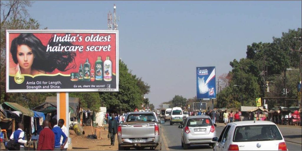
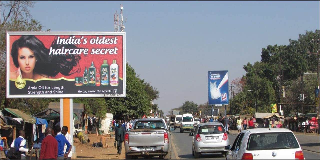
Malamulele can refer to the town of Malamulele or the area of Malamulele. Both the town and area are in the Limpopo province of South Africa and predominantly occupied by Tsonga people. Malamulele town has one provincial road and one regional road; the R81 to Giyani and the R524 to Thohoyandou respectively.
Malamulele

Is Malamulele under Giyani?
The Malamulele Area is situated between Giyani on the east, starting at Letaba river, and Thohoyandou on the north-west, starting at Rivhubye river. To the west of Malamulele Area is Waterval, famous for the Elim Hospital.
How big is Malamulele?
9,57 km²
Malamulele / Area
What is the suburb of Malamulele?
Malamulele is a suburb of Vhembe, Limpopo with a postal code. It is about 165 kms north-northeast of LP’s capital city of Polokwane.
What is Malamulele postal code?
0982
Malamulele / Zip code
Malamulele, Vhembe – Postcode – 0982 – South Africa Postcode.
